
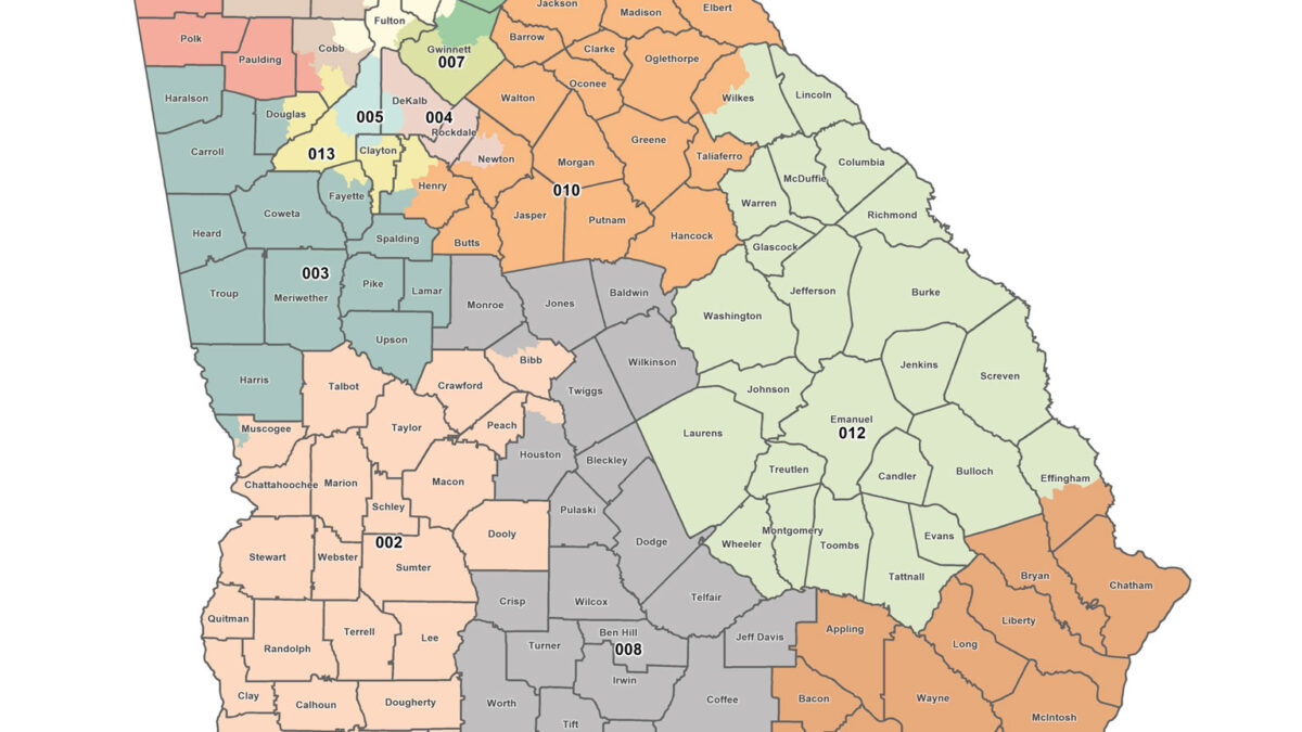
Where things stand: Ten states changed their congressional maps after the 2020 redistricting cycle and before the 2026 elections, but not all adopted maps will be used. By September 2026, California, Florida, Louisiana, North Carolina, Ohio, Tennessee, Texas and Utah had new or newly operative maps for 2026; Alabama returned to a 2023 map and Missouri’s 2025 map was paused pending a referendum.
Data as of October 23, 2026; sources listed below. This explainer is general information, not legal advice; confirm your district with your state or county election office.
Why Congressional Districts Changed Mid-Decade
State congressional maps are ordinarily redrawn after the decennial census. After the 2020 Census, states adopted maps designed for the 2022 through 2030 election cycles. But the Constitution does not universally prohibit changes between censuses. State constitutional provisions, statutes and court judgments determine how and when a new map can become operative.
The 2025–26 cycle brought legislative map revisions, voter referendums and judicial decisions. Some revisions began as legislative or ballot initiatives; others followed litigation over district boundaries or redistricting authority. The important distinction is between proposing a map, enacting one and actually using it on the ballot.
The number of U.S. House districts assigned to each state did not change merely because internal district boundaries moved. House apportionment remains based on the 2020 Census until the next reapportionment.
Maps and Their 2026 Status
| State | Rule or action | Effective 2026 status | Official source |
|---|---|---|---|
| Alabama | Court proceedings changed operative map | 2023 map restored for 2026 | Alabama elections |
| California | Voters approved 2025 map amendment | New maps for 2026 | California SOS |
| Florida | Congressional map enacted May 2026 | New maps used, litigation ongoing | Florida elections |
| Louisiana | Legislature enacted maps May 2026 after court case | New maps for 2026 | Louisiana elections |
| Missouri | 2025 map challenged by referendum | 2022 map restored pending November vote | Missouri SOS |
| North Carolina | Legislature enacted maps October 2025 | New maps for 2026 | NC legislature |
| Ohio | Redistricting commission adopted maps October 2025 | New maps for 2026 | Ohio SOS |
| Tennessee | Legislature adopted maps May 2026 | New maps for 2026 | Tennessee legislature |
| Texas | Legislature enacted map August 2025 | New map permitted for 2026 under court stay | Texas legislature |
| Utah | Court-ordered congressional boundaries November 2025 | New maps for 2026 | Utah elections |
Several other states considered changes that were not implemented for the 2026 election. Virginia’s attempted map changes were invalidated under state procedures, and proposed changes in Indiana and South Carolina did not take effect. Maryland and New York considered possible future changes rather than implementing new maps for this midterm cycle.
Texas and California: Two Different Routes
Texas adopted revised congressional districts in 2025. Federal litigation produced a lower-court order that would have prevented their use, but the U.S. Supreme Court stayed that order. The revised Texas boundaries consequently remained operative for the 2026 cycle as of this article’s date.
California took a different route. Voters approved a 2025 constitutional ballot measure authorizing new congressional maps for specified election cycles. Those maps were designed to replace boundaries ordinarily developed by the state’s redistricting commission during the relevant period.
The two states illustrate different mechanisms: legislative enactment with subsequent litigation in Texas, and voter-approved constitutional authorization in California. Neither state’s newly drawn lines changed the total House seats allocated to it.
Missouri: A Map Can Be Enacted Yet Suspended
Missouri adopted a new congressional map in 2025, but opponents pursued a referendum to repeal it. In 2026, court rulings addressed whether congressional map legislation could be subjected to referendum and what map should apply while voters considered the question.
The Missouri Supreme Court’s ruling allowed the referendum process to proceed and restored the 2022 map pending the November 2026 vote. That meant candidates who had competed under a different district configuration at an earlier stage could face voters under the restored boundaries.
The general lesson is that enactment is not the end of the inquiry. An injunction, referendum or appellate decision can change which district description is legally operative.
Florida, Louisiana and Utah
Florida enacted a congressional map in May 2026 and adjusted candidate filing dates to accommodate the revised districts. Litigation remained pending, but the new map was scheduled for use in the 2026 election cycle.
Louisiana’s revised congressional map followed the Supreme Court’s 2026 decision in Louisiana v. Callais. The state legislature enacted new boundaries, and congressional voting dates shifted so that the open primary would occur November 3 with a possible December general election.
Utah’s change emerged from state litigation over redistricting rules originally approved by voters. A court ordered new congressional boundaries in November 2025, with the resulting map used for 2026.
These histories differ significantly, and the legal arguments in one state should not be assumed to govern another state’s process.
Five Facts Often Missing from Map Coverage
1. A district number can remain while its boundaries change. The same seat label may contain substantially different voters.
2. A new map does not automatically give a party seats. Candidate recruitment, incumbency, voter behavior and turnout determine election results.
3. Court stays can control the election even without a final merits decision. Interim orders determine which map officials must administer.
4. A voter may have a new representative district without moving. County election offices should provide updated district assignments.
5. Apportionment and redistricting are different. Apportionment sets each state’s number of House seats; redistricting draws boundaries within states.
How to Check Your District
Voters should use their official state or county election lookup, which reflects the district assigned to their registration address. A prior election’s sample ballot or a campaign postcard may show a superseded boundary. Candidates and campaigns also need to compare updated precincts and county splits rather than assume that an old district number has the same voters.
Court decisions after an initial map is adopted can affect the final ballot. The controlling sources are the enacted district plan, the election administrator’s current map and binding judicial orders.
Keeping the Three Questions Separate
This cycle shows how fast the electoral map can shift without a new census. Clear coverage keeps three things apart: whether a state had the legal authority to redraw, which map is actually on the ballot, and what voters ultimately do. New lines change who is in a district, but they do not decide how those voters will mark their ballots.
Redistricting FAQ
Can states redraw House districts between censuses? In many circumstances yes, subject to federal and state law.
Did Texas use its new map in 2026? As of October 23, a Supreme Court stay permitted the 2025 map for the 2026 cycle.
Which map is Missouri using? The restored 2022 map was operative pending the November 2026 referendum.
Did California approve new maps? Yes, through a 2025 ballot measure.
Does redistricting change the number of House seats in a state? No. That is determined by reapportionment.
Sources
- Supreme Court of the United States — Opinions and Orders
- Texas Legislature — Legislation and District Plans
- California Secretary of State — Elections
- Missouri Secretary of State — Elections
- Florida Department of State — Elections
- Louisiana Secretary of State — Election Information


